We have 7 peaks over 17,000 feet. Quilotoa is just under 13,000 feet at the top and is located between Illiniza and Chimborazo on this map:
On our way out to the site, we had amazing morning views of the mountains along the Avenue of the Volcanoes running down the middle of Ecuador. We saw others as well, but I didn't get great shot.
Chimborazo
Cotopaxi
Tungurahua spewing some ash!!!
Yes, this is the one that erupted more fully a few days ago. Quite a cool site to see.
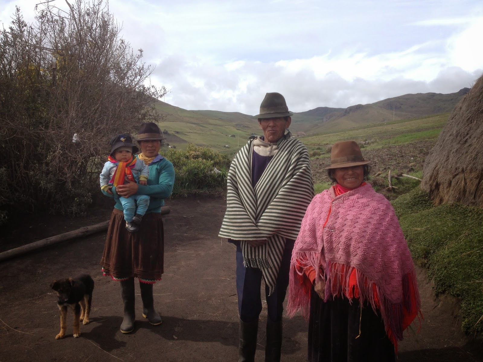
The guide for our trip took us to meet an indigenous highland family and see their house.
Apparently 10 people live in this hut and the floor is covered with their main food:
Next we headed to our final destination, the beautiful Quilatoa crater:
Visitors can hike down to the lake. Admittedly, I only made it about a quarter of the way down. It was crazy steep and I was not confident that I would make it without slipping, potentially re-injuring my knee that I have been so diligently working to strengthen since my big falls last year. So, I made my way back up and took some photos while waiting for my friends.
Starting the hike
The clouds come in and out very quickly.
The photo on the right is the steep path down.
Sooooo beautiful. Overall a great day and I am so glad I got to see this one before we have to go.


No comments:
Post a Comment